
|
Surveys and data Instruments
Support to other department sections Support Dr. Scient. thesis Contribution to "Scientific infrastructure"
Obsolete, kept for reference
Last update: April 30, 2025, at 08:49 AM |
TECHNICAL NEWS2 July 2012: Software for evaluationElectrical CAD softwareWe want to evaluate different electrical CAD/CAE programs: Web programmingARM
2 Dec 2010: KML file for Google EarthWe look into the possibility of using Google Earth to display all our seismic lines and also provide link to seismic data and metadata. Here's our first attempt to make a KML file (download and open in Google Earth - if you click on a line, a windows opens, but links are not activated): uib-seismic-profiles-12nov2010.kml (right-click and save - use "kml" extension, not "xml" as IE will attempt to do).
Using Python numerical & scientific librariesWe've started using the most common numeric/scientific/plotting libraries for Python: Here's an interpolation (5 lines of Python code) on some navigational data, using these libraries: 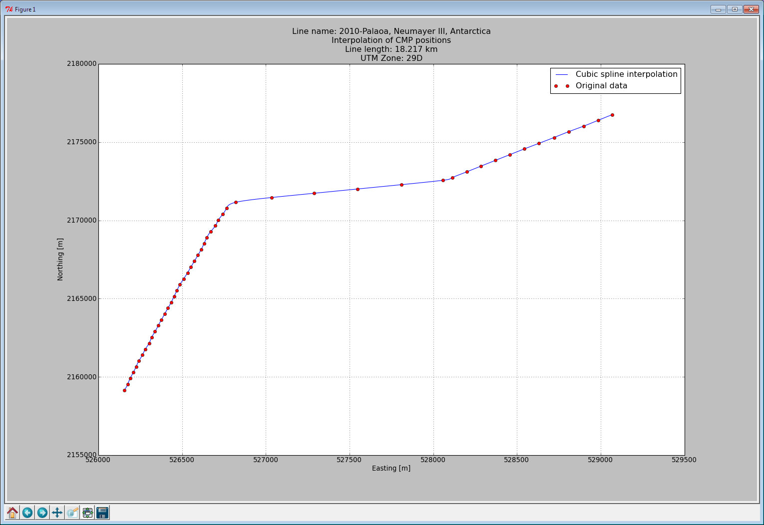 |