Recent Changes - Search:

Surveys and data


Instruments


Support to other department sections


Support Dr. Scient. thesis


Contribution to "Scientific infrastructure"


Obsolete, kept for reference


edit SideBar

Last update: May 17, 2022, at 12:58 PM
Version: pmwiki-2.3.22

Title

     SVALEX-2014

     RV "HÅKON MOSBY"

By
O.M.
Date
02 December 2014
Version
0.1
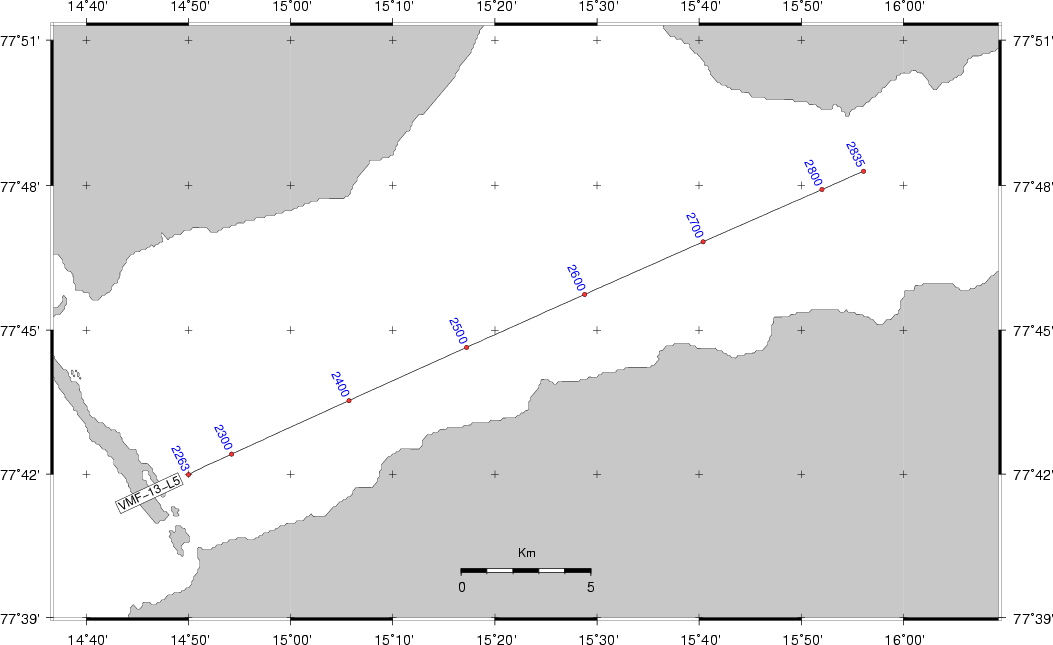
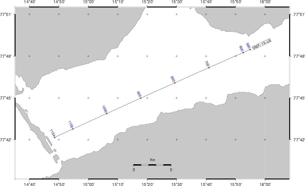
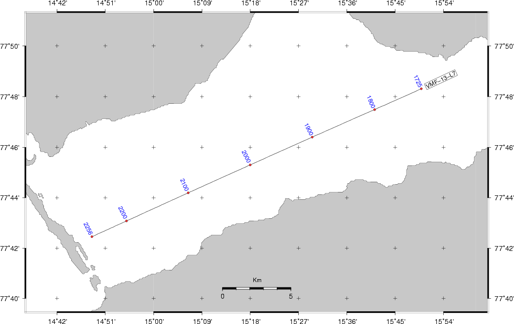
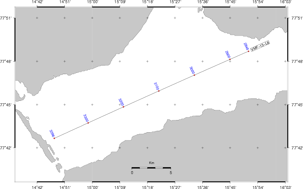
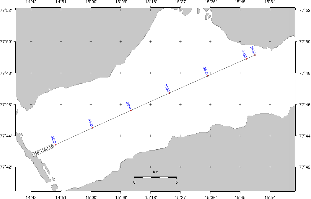
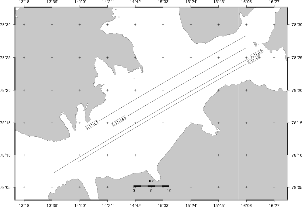
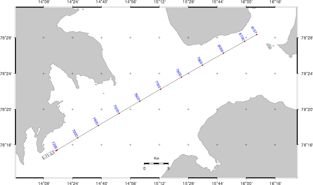
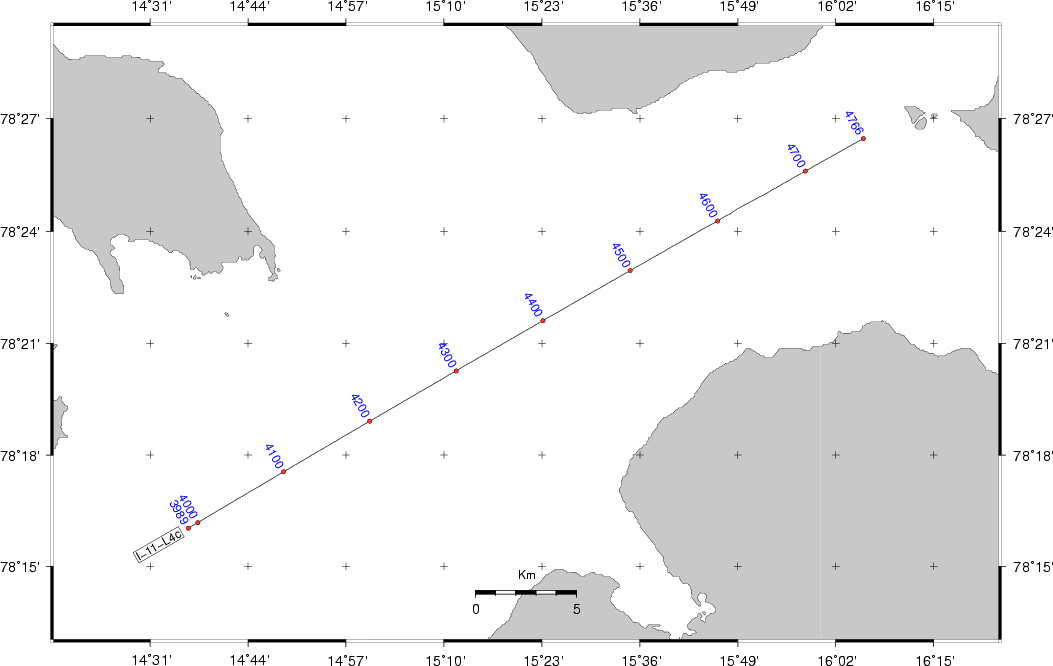
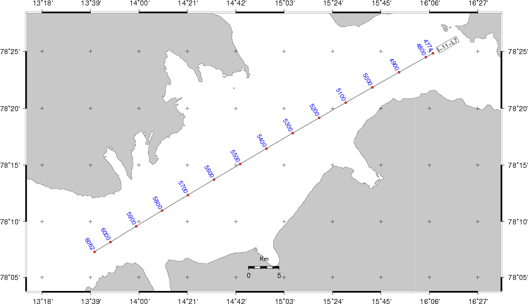
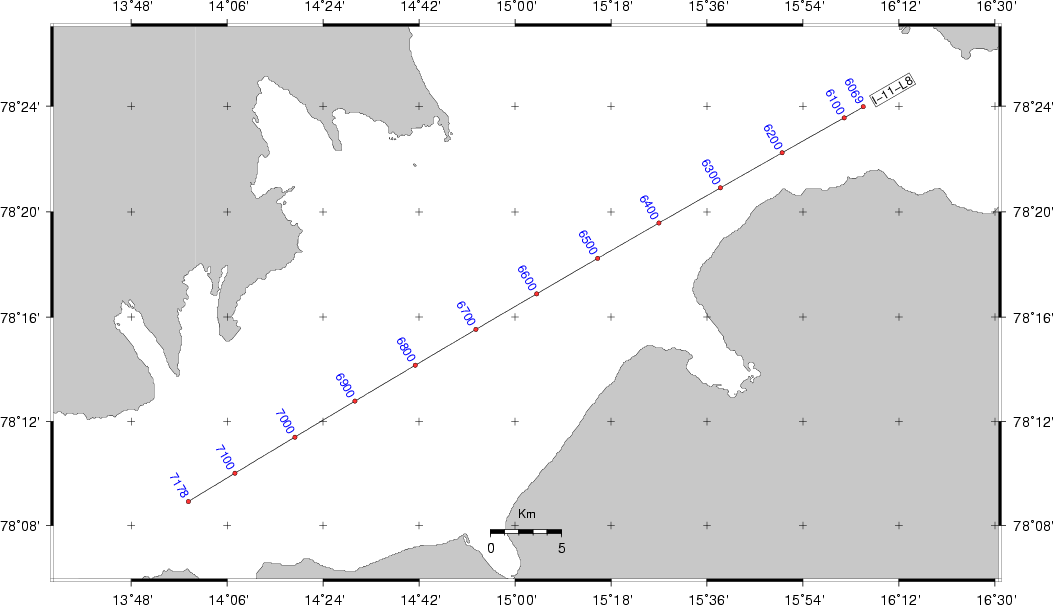
Click to open SVALEX-2014 photo album.

UKOOA P1-90 NAVDATA, SHOT POINT MAPS, LOG SHEETS


Shotpoint map directory listing, log sheets


The shot point maps are made by GEO software on a Linux workstation. Contact B.O.R. or O.M. if you need to regenerate the map on e.g. a different scale.

SHOTPOINT MAP DIRECTORY LISTING LOG SHEETS
Click to open shot point map directory, or select from table below.
Click to open shot point map directory, or select file from table below.

Shot point maps are provided as PDF files (open directory listing). Take screenshots from PDF viewer and convert to JPG or other image format, as needed. Remember to open the PDF file separately in Adobe Acrobat Reader, which provide a clear rendering of fonts and lines (unlike some PDF viewers that are browser embedded).

Click to open PDF scanned version of SVALEX-2014 edited log sheets.


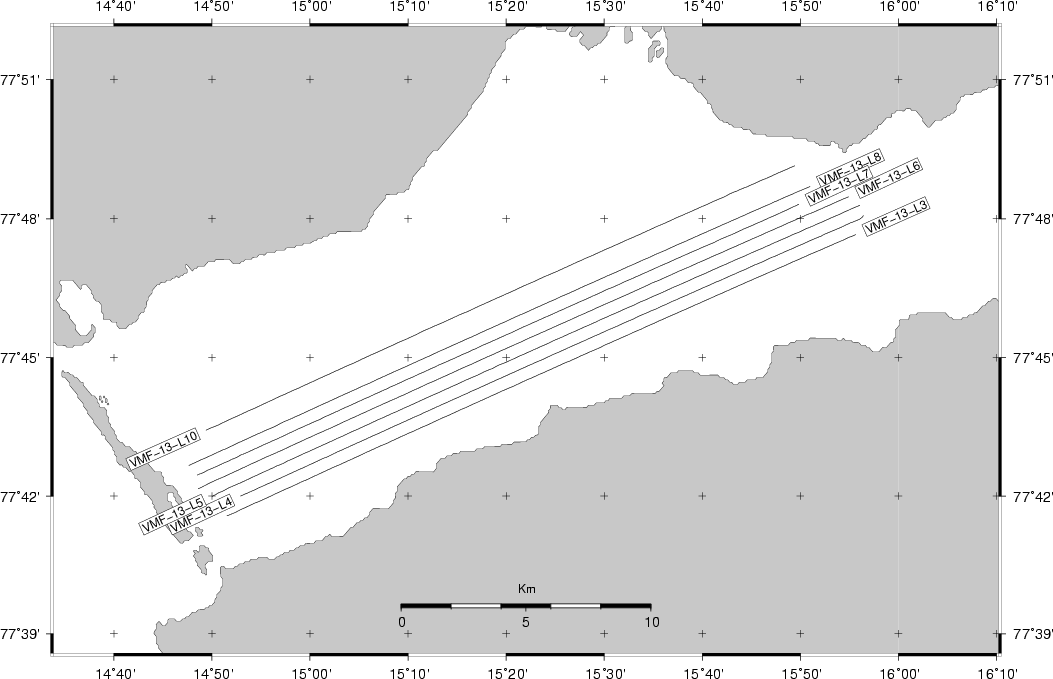
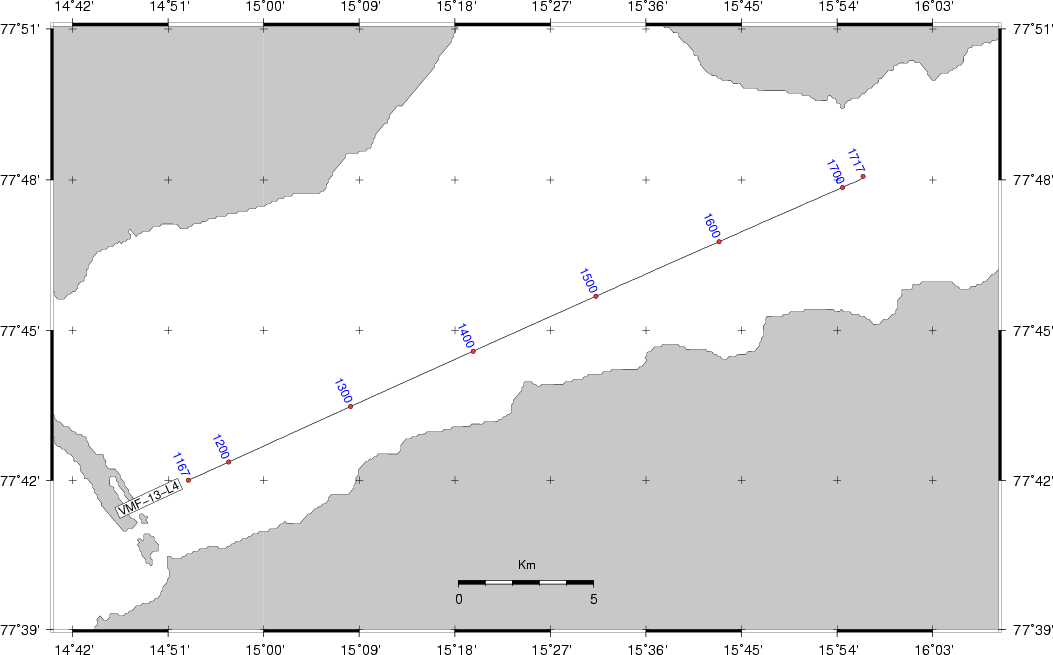
Raw nav data, UKOOA P1/90, shotpoint maps


SVALEX-2014 RAW NAV DATA - UKOOA P1/90 - SHOTPOINT MAPS
LINE NAME RAW NAV.DATA UKOOA P1-90 QC PLOT DATA SHOT POINT MAP [PDF file]
(RightClick + SaveLinkAs)
SHOT POINT MAP [PNG image file]
Van Mijen line overview >>>>>>> Link Link
WMF-13-L3 (Van Mijen) Link Link Link Link Link
WMF-13-L4 (Van Mijen) Link Link Link Link Link
WMF-13-L5 (Van Mijen) Link Link Link Link Link
WMF-13-L6 (Van Mijen) Link Link Link Link Link
WMF-13-L7 (Van Mijen) Link Link Link Link Link
WMF-13-L8 (Van Mijen) Link Link Link Link Link
WMF-13-L10 (Van Mijen) Link Link Link Link Link
Isfjorden line overview >>>>>>> Link Link
I-11-Line1 (Isfjorden) Link Link Link Link Link
I-11-Line4c (Isfjorden) Link Link Link Link Link
I-11-Line7 (Isfjorden) Link Link Link Link Link
I-11-Line8 (Isfjorden) Link Link Link Link Link

UKOOK P1/90 script session


Make UKOOOA files, copy to old mapping server, download PDF+PNG files from browser on same machine.

Notice invocation, and warnings:
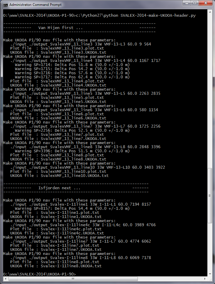
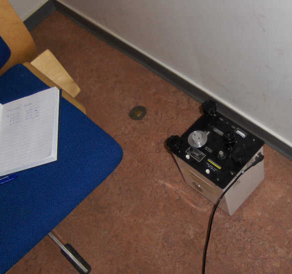

GRAVITY METER


Land gravimeter calibration table


Calibration table land gravimeter.
Calibration table land gravimeter L&R S/N: G-936. Click to enlarge.

Converting the counter reading to milliGals


Excerpt from p.1-9 of G-936 Instruction Manual:

  If the counter reading is 2654.32, look at the calibration table for your meter. Remember that each meter has its own unique table.

                          Portion of calibration table
     _____________________________________________________________________________
    /                                                                             \
   /    Counter reading           Interval factor           Cumulative value       \

            2500   ..............     1.00794    .............   2519.42 
    +---->  2600   ..............     1.00799    .............   2620.21  <---+
    |       2700   ..............     1.00805    .............   2721.01      |
    |       2800   ..............     1.00811    .............   2821.82      |
    |                                                                         |
    |    Divide the reading into two parts:                                   |
    |                                                                         |
    +---->  2600.00                               2620.21  <------------------+
            + 54.32                                +54.75  <----+
            -------                               -------       |
            2654.32                               2674.96       |
                                                                |
         Interval factor x reading within interval              |
                                                                |
                               1.00799 x 54.32 = 54.75  <-------+

Base reading Longyearbyen 12 August 2014


Mosby location: Bykaia

  A) MARINE GRAVITY METER STILL READING:
     ..................................

     DoY  Time_UTC    Digital_gravity    Spring_tension    Cross_coupling    Raw      Total_correction
     ------------------------------------------------------------------------------------------------
     224:18:21:00       14641.9             14641.9             0.0          20             0.1


  B) MEASUREMENTS ON QUAY BESIDE SHIP ( 1st time)
     .............................................

      i.  Distance from jetty to water surface: 3.9 meter
      ii. Land gravimeter:
          18:37 UTC:    6421.890
                        6421.890
                        6421.890


  C) MEASUREMENTS ON LONGYEARBYEN "REFERENCE POINT", HARBOR OFFICE
     ..............................................................

     Land gravimeter:
          18:53 UTC:    6422.273
                        6422.273
                        6422.273


  D) MEASUREMENTS ON QUAY BESIDE SHIP (2nd time)
     ...........................................

      i. Land gravimeter:
          19:04 UTC:    6421.940
                        6421.940
                        6421.940

      The difference between reading B and D is (6421.940 - 6421.890) = 0.05 counts (approx 50 uGals). Check land gravity meter later on stable surfaces to see if this is a instrument related issue.

  E) MARINE GRAVITY METER STILL READING:
     ..................................

     DoY  Time_UTC   Digital_gravity    Spring_tension    Cross_coupling    Raw      Total_correction
     ------------------------------------------------------------------------------------------------
     224:19:18:50      14642.0             14641.9             0.0           6           0.5


Base reading Longyearbyen 24 August 2014


Mosby location: Kullkaia

  A) MARINE GRAVITY METER STILL READING:
     ..................................

     DoY  Time_UTC    Digital_gravity    Spring_tension    Cross_coupling    Raw      Total_correction
     ------------------------------------------------------------------------------------------------
     236:07:14:30       14641.0             14641.1             0.0          -9             0.2


  B) MEASUREMENTS ON QUAY BESIDE SHIP ( 1st time)
     .............................................

      i.  Distance from jetty to water surface: 3.3 meter
      ii. Land gravimeter:
          18:37 UTC:    6422.770
                        6422.770
                        6422.770


  C) MEASUREMENTS ON LONGYEARBYEN "REFERENCE POINT", HARBOR OFFICE
     ..............................................................

     Land gravimeter:
          08:11 UTC:    6422.305
                        6422.300
                        6422.300


  D) MEASUREMENTS ON QUAY BESIDE SHIP (2nd time)
     ...........................................

      i. Land gravimeter:
          08:31 UTC:    6422.780
                        6422.780
                        6422.780


  E) MARINE GRAVITY METER STILL READING:
     ..................................

     DoY  Time_UTC   Digital_gravity    Spring_tension    Cross_coupling    Raw      Total_correction
     ------------------------------------------------------------------------------------------------
     236:08:47:40      14641.0             14641.1             0.0           6           -0.5


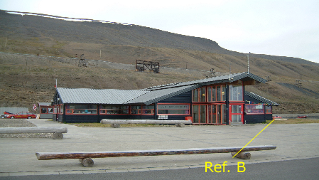
Secondary reference point at Harbor Office, Longyearbyen


The old reference points at Longyearbyen Airport have been rendered unusable due to building reconstruction work in 2007. So in 2008 we established our own "secondary" reference points, one near the Harbor Office at Bykaia, and the other near Bringkaia, by taking the approximate difference between that old point, and the new secondary points. Several difference readings have been performed in order to establish an accurate difference, see table below.

Longyearbyen gravity reference point P - not available any longer due to building reconstruction work. Click to enlarge.

Base reading 20 Aug 2007, Longyearbyen Airport, using reference point P.

Base reading 20 Aug 2007, Longyearbyen Airport, using reference point P.

Harbor Office, Bykaia, Longyearbyen, Svalbard. New secondary reference point on the right side of building.

Location of "secondary" reference point, Harbor Office, Longyearbyen (Ref. B)


Difference between old and new (secondary) reference point


Difference measurements between Longyearbyen reference point P, and new secondary point at Harbor Office.
DATE NEW SECONDARY REF. POINT
HARBOR OFFICE LONGYEARBYEN
OLD REF. POINT P
LONGYEARBYEN AIRPORT
NEW SECONDARY REF. POINT
HARBOR OFFICE, LONGYEARBYEN
DIFFERENCE
[COUNTS]
1 Sept 2005
   n/a
   UTC   Reading                                    
   -------------
   10:51  6403.02 
   10:53  6403.11
   10:56  6403.14
   --------------
   USING: 6403.09 (average)
   UTC    Reading                                    
   --------------
   11:05  6405.09
   11:09  6405.32
   11:12  6405.33
   --------------
   USING: 6405.25 (average)
     6405.25
   - 6403.09
     -------
   =    2.16
     -------
6 Sept 2005
   UTC    Reading                                    
   --------------
   08:35  6405.55 
   08:37  6405.40
   08:39  6405.33
   --------------
   USING: 6405.43
   UTC    Reading                                    
   -------------
   09:06  6402.95
   09:09  6402.98
   09:12  6402.98
   --------------
   USING: 6402.97
   UTC    Reading                                    
   --------------
   09:44  6405.19
   09:46  6405.33
   09:48  6405.31
   --------------
   USING: 6405.28
     6405.36 (average)
   - 6402.97
     -------
   =    2.39
     -------
20 Aug 2007
   n/a
   UTC   Reading                                    
   --------------
   8:14  6432.600
   8:15  6432.602
   8:17  6432.600
   8:18  6432.600
   --------------
   USING: 6432.60
   UTC   Reading
   --------------
   9:00  6434.708
   9:03  6434.710
   9:05  6434.712
   --------------
    USING: 6434.71
     6434.71
   - 6432.60
     -------
   =    2.11
     -------
31 Aug 2007
   UTC   Reading
   --------------
   8:56  6434.620
   8:58  6434.618
   9:00  6434.620
   --------------
   USING: 6434.62
   UTC   Reading
   --------------
   9:17  6432.535
   9:19  6432.532
   9:21  6432.531
   --------------
   USING: 6432.53
   UTC   Reading
   --------------
   9:32  6434.620
   9:34  6434.622
   9:36  6434.622
   --------------
   USING: 6434.62
     6434.62
   - 6432.53
     -------
   =    2.09
     -------
15 August 2008
   n/a
   UTC    Reading
   --------------
   09:49  6418.205
   09:51  6418.204
   0955   6418.205
   USING: 6418.21
   UTC    Reading
   --------------
   10:12  6420.35
   10:14  6420.35
   10:16  6420.35
   --------------
   USING: 6420.35
     6420.35
   - 6418.21
     -------
   =    2.14
     -------
19 August 2008
   UTC    Reading
   --------------
   10:05  6421.13
   10:12  6421.13
   10:13  6421.13
   --------------
   USING: 6421.13
   UTC    Reading
   --------------
   10:33  6419.01
   10:35  6419.01
   10:36  6419.01
   --------------
   USING: 6419.01
   UTC    Reading
   --------------
   10:50  6421.15
   10:52  6421.15
   10:53  6421.15
   --------------
   USING: 6421.15
     6421.14 (average)
   - 6419.01
     -------
   =    2.13
     -------
We believe measurements made after 2005 are more accurate. Thus, we estimate that difference between old reference point P at Longyearbyen Airport, and new secondary reference point at Harbor Office is (2.11 + 2.09 + 2.14 + 2.13)/4 = 2.118 counts, which must be converted to milliGals using land gravity meter calibration table, see above).


INSTRUMENT MONITORING


Edit - History - Print - Search
Page last modified on December 02, 2014, at 07:37 PM
Electronics workshop
Department of Earth Science - University of Bergen
N O R W A Y