|
Surveys and data Instruments
Support to other department sections Support Dr. Scient. thesis Contribution to "Scientific infrastructure"
Obsolete, kept for reference
Last update: April 30, 2025, at 08:49 AM |
 Map of Dronning Maud Land, research stations (click to see map source). Obtain other Antarctica maps from Australian Antarctic Data Centre.
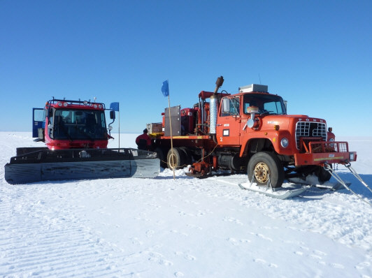
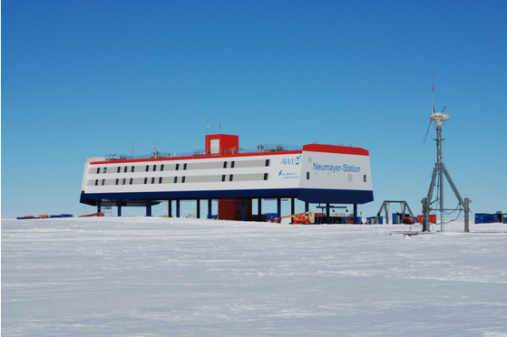
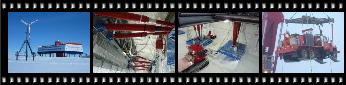 Click to open photo album. ABOUT THE SURVEYAs part of the LIMPICS Antarctica 2009/10 program at Alfred-Wegener-Institut für Polar- und Meeresforschung (AWI), Professor Yngve Kristoffersen at Dept. of Earth Science will participate in a seismic survey at Halfvarryggen1), Dronning Maud Land, Antarctica. The seismic survey will seek to compare two different seismic sources - a Vibroseis truck and dynamite. The truck, owned by University of Bergen, is furnished with snow skies and towed by tracked vehicle. Data is gathered from a 1.5 km long snow streamer towed behind the truck. The survey is in preparation of ice core drilling site selection. The location of Dronning Maud Land - 2.5 mill. km2 area - is shown on map, denoted "Norwegian claim" (in comparison, Norwegian main land is 0.4 mill. km2). The German Neumayer III station on the coast is the logistics center.
________
INSTRUMENTATIONOur department supplied the seismic source - the vibroseis truck. Extensive instrumentation is required to control the vibroseis sweeps that are generated. This webpage will not provide further details on this matter, however. |
|||||||||